

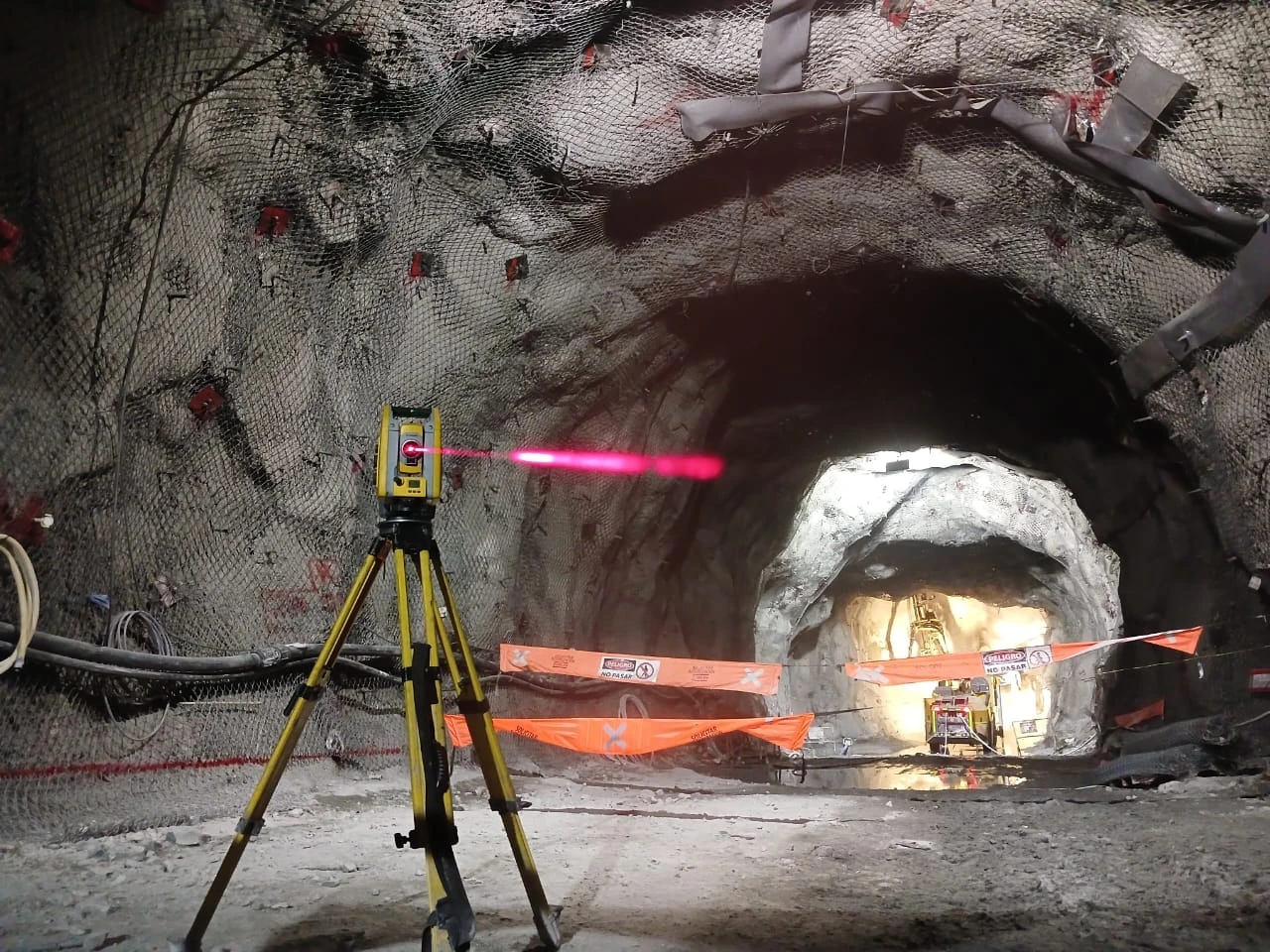
SOFTWARE FOR
SURVEYING
ENGINEERING
AND OPERATIONS
REAL SOLUTIONS FOR MORE EFFICIENT WORK
PRODUCTS →FIELD → PROCESS → RESULT
MOTRON / PRODUCTS
FROM THE FIELD TO THE RESULT.
Specialized software developed from real operational needs.

02 / PERPETUAL LICENSE
TUNNELSECTION
Tunnel cross sections from design and field coordinates, including delta values.
EXPLORE TUNNELSECTION →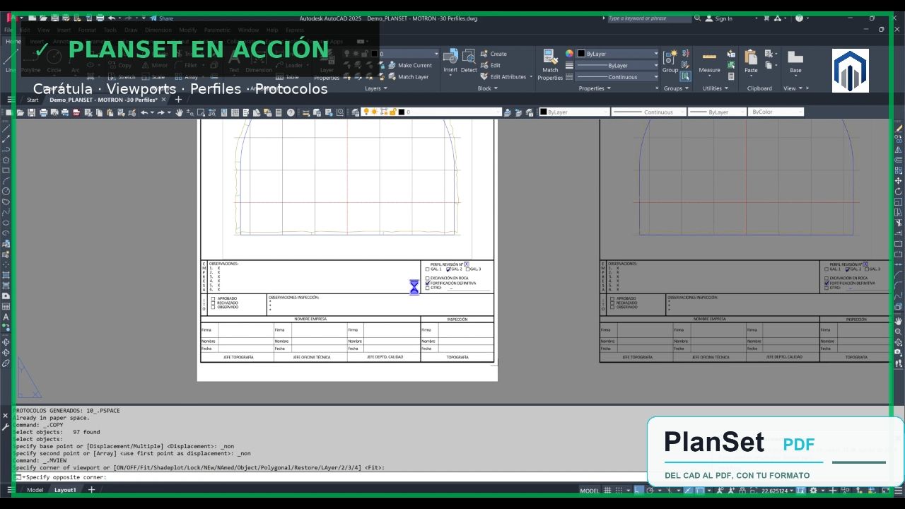
03 / PERPETUAL LICENSE
PACK PS + TS
From field surveying to profiles, sheets and documentation ready for review and delivery.
EXPLORE PACK PS + TS →COMING SOON · GOOGLE PLAY
MOTRON GEOCALC
From field data to usable information.
In the field, two 3D coordinates can end up in a notebook, a calculator, a spreadsheet or calculations that later need to be interpreted again.
GeoCalc organizes that process.You can also add photographic evidence and generate a professional report of the calculation.
Launch price: CLP $9,990, VAT included
Currently in operational use at Túnel Correa.
EXPLORE GEOCALC →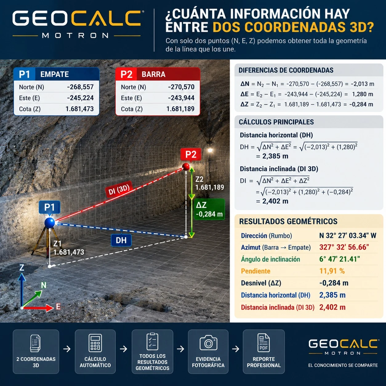
IN DEVELOPMENT
05 / DOWNLOAD COMING SOON
TRACEMINE INSTRUMENTCHECK
We do not certify your instrument. We make its performance traceable. Customize operational evidence for your contract.
EXPLORE TRACEMINE INSTRUMENTCHECK →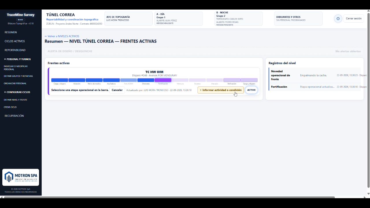
06 / BETA IN DEVELOPMENT · TESTING IN REAL OPERATIONS
TRACEMINE SURVEY
A survey stops being a collection of files and becomes a complete, traceable and auditable technical history.
EXPLORE TRACEMINE SURVEY →ABOUT US
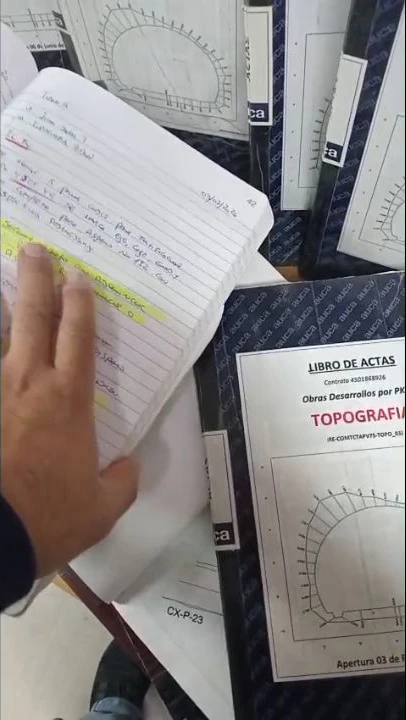
EXPERIENCE THAT BECOMES SOFTWARE.
Each tool starts with a problem observed in the field. We first understand and standardize the process, then turn it into a digital solution.
MOTRON / VERIFY DOCUMENT
VERIFY DOCUMENT
Check documents issued by MOTRON using a code, SHA-256 or QR.