
COMING SOON · GOOGLE PLAY
MOTRON GEOCALC
From field data to usable information.
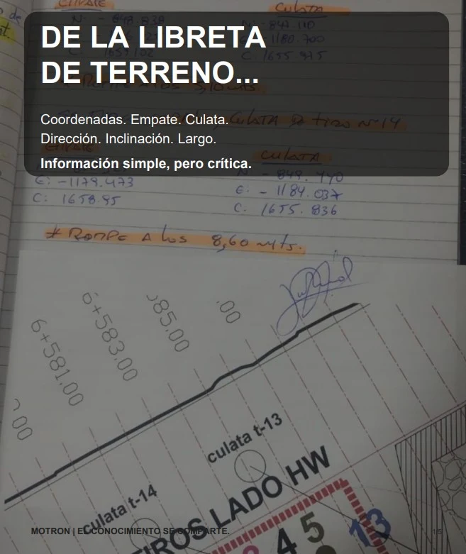
In the field, two 3D coordinates can end up in a notebook, a calculator, a spreadsheet or calculations that later need to be interpreted again.
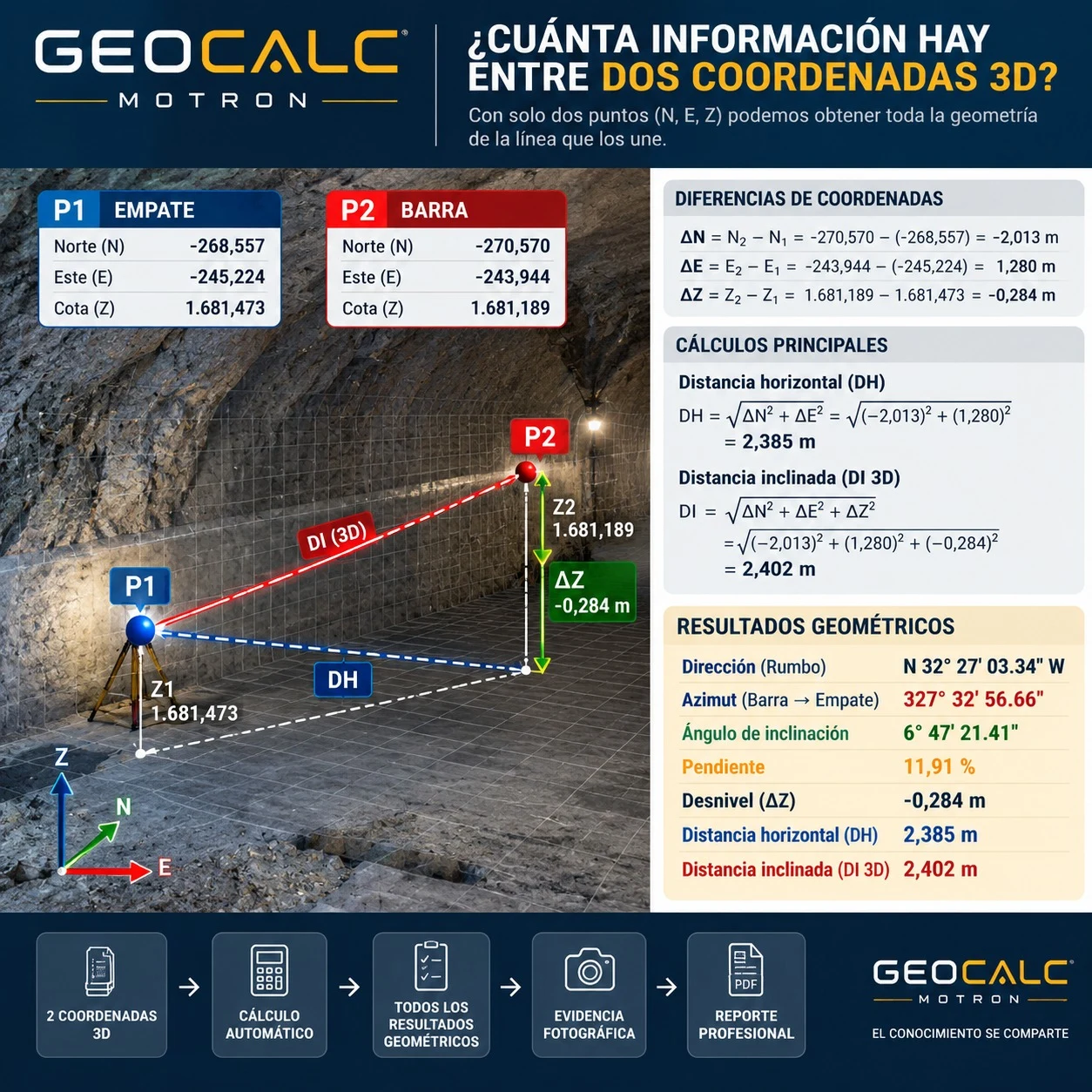
GeoCalc organizes that process.Enter two N, E, Z points and immediately obtain direction/bearing, azimuth, inclination angle, slope, elevation difference, horizontal distance and 3D slope distance.
You can also add photographic evidence and generate a professional report of the calculation.
OPERATIONAL ORIGINS
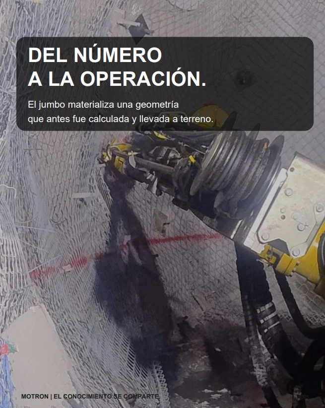
From numbers to operations.
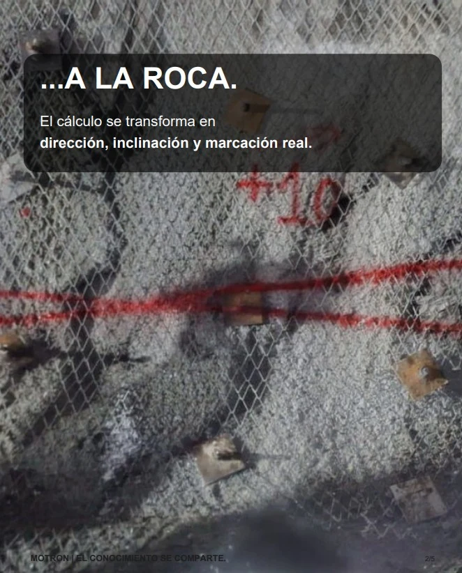
Information calculated in the field becomes a decision, a setting-out task, a direction or real geometry. GeoCalc comes from that workflow: making an everyday field calculation faster, more organized and traceable.
PRODUCT EVIDENCE
From calculations to a professional report.
2 3D coordinates → automatic calculation → geometric results → photographic evidence → PDF report
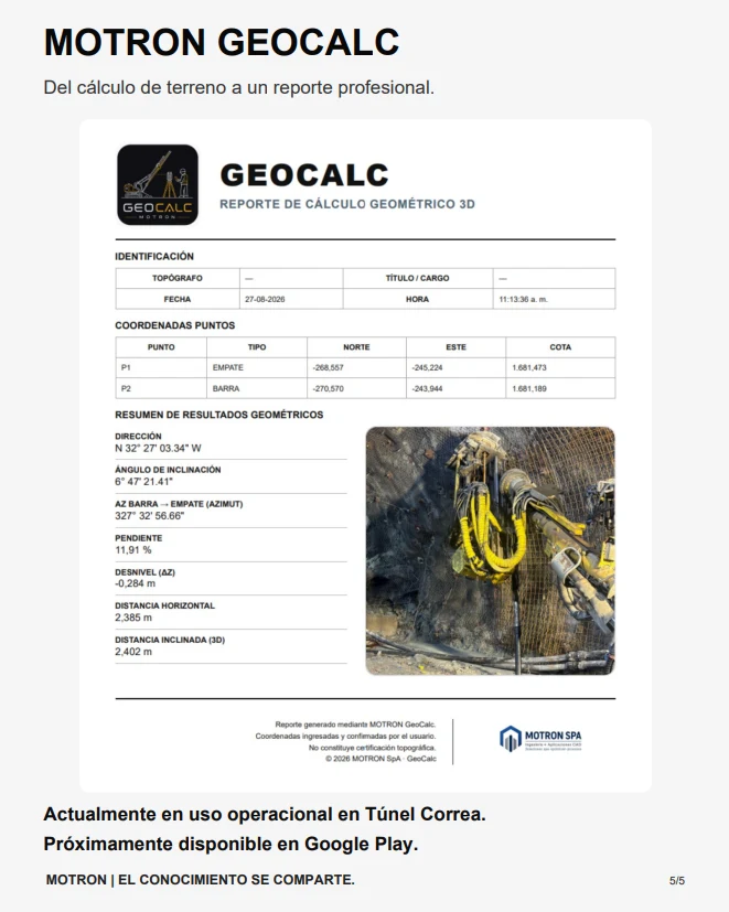
Currently in operational use at Túnel Correa.
Coming soon on Google Play.
Launch price: CLP $9,990, VAT included
COMING SOON ON GOOGLE PLAY
WANT TO LEARN MORE?
Contact us to learn about the product and its upcoming launch.
WHATSAPPcontacto@motron.cl